



The deadly flash flood that struck Nepal’s Himalayan border region on August 26, 2026, was not caused by a conventional earthquake, according to the latest clarification from the U.S. Geological Survey (USGS). Instead, the seismic signal initially interpreted as an earthquake was generated by a glacial collapse and debris flow, which then produced catastrophic flooding downstream.
The distinction matters because the disaster unfolded through a chain of connected geological events: glacial ice and rock collapsed → a landslide/debris flow developed → the river system was disrupted → a sudden surge of water, mud, ice and boulders moved downstream.
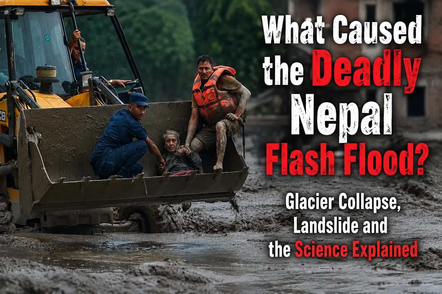
The event devastated communities around Nepal’s Rasuwa district and affected areas across the border in Tibet. By August 27, the reported death toll had reached at least 160 across Nepal and China, while hundreds remained missing.
What caused the Nepal flash flood?
The immediate cause was a glacial collapse involving ice and rock that generated a debris flow and triggered a catastrophic downstream flood.
The USGS initially detected seismic activity and the event was reported as an earthquake. It subsequently clarified that the signal was instead associated with a glacial collapse and debris flow, meaning the shaking detected by instruments came from the sudden movement and collapse of ice and rock rather than from an earthquake rupture.
Satellite analysis also supports the glacier-collapse explanation. Reuters reported that satellite imagery showed a significant section of glacier at roughly 5,200 metres altitude breaking away and falling more than 1,200 metres into the valley below.
That distinction helps explain why the event could initially look like an earthquake to monitoring systems.
Was an earthquake responsible for the Nepal flood?
No conventional earthquake has been identified as the direct cause of the disaster.
Early reports described seismic activity near the Nepal-China border as a magnitude 4.4 earthquake. The interpretation was later revised after further analysis. The USGS said the event initially reported as an earthquake was actually a glacial collapse and debris flow.
This does not completely eliminate questions about seismic activity in the region. Some early expert assessments had considered whether an earthquake might have destabilized the glacier or surrounding terrain. But that possible connection remains separate from the confirmed explanation of the seismic signal itself.
In other words:
Initial interpretation: earthquake → flood
Updated understanding: glacier/ice-rock collapse → debris flow → catastrophic flooding, with the collapse itself generating detectable seismic energy.
“Must Read”
How can a glacier collapse cause a flash flood?
A glacier does not need to melt completely to produce a sudden flood.
In steep Himalayan terrain, a large mass of ice and rock falling from a high elevation can behave like an ice-rock avalanche. The collapsing material accelerates down the slope, breaks apart and mixes with snow, sediment, rocks and water.
When this enormous mass reaches a river valley, several things can happen rapidly.
- Ice and rock fall into the valley.
- The moving material generates a landslide or debris flow.
- A river can become temporarily blocked or heavily disrupted.
- Water and sediment accumulate behind or around the blockage.
- The natural barrier can fail or the displaced water can surge downstream.
- The resulting flood carries enormous quantities of mud, rocks and debris.
In the Nepal-Tibet disaster, reporting indicates that an ice-rock avalanche affected the Lhende Khola river system before the flood moved downstream through the Bhote Koshi and into the wider river network.
This helps explain the extraordinary speed and destructive force of the flood.
What role did the landslide play?
The landslide was a critical link between the glacier collapse and the flood.
The falling ice and rock did not simply produce a conventional river rise. Instead, the collapse created a huge mass of unstable material that moved into the valley and river system.
That debris could include:
- glacier ice
- large rocks and boulders
- loose mountain sediment
- mud
- snow and water
Once such a mass begins moving through a steep Himalayan valley, it can rapidly transform into a highly destructive debris flow.
Unlike ordinary river flooding, a debris flow can carry extremely large rocks and sediment at high speed. That makes it capable of destroying bridges, roads, buildings and vehicles rather than simply inundating them.
Where did the Nepal flash flood happen?
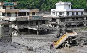
The disaster was concentrated around the Rasuwa district of Nepal near the border with Tibet, with major impacts also reported on the Chinese side of the border.
The affected landscape includes steep valleys and important routes used by tourists and pilgrims travelling toward the Tibet region, including people heading toward Mount Kailash and Lake Mansarovar.
The Bhote Koshi and Trishuli river systems were among the waterways affected by the event.
The geography is one reason the disaster became so destructive so quickly. Mountain valleys concentrate moving water and debris into relatively narrow channels, giving a sudden surge enormous destructive power.
Why did the flood look like an earthquake at first?
This is one of the most important scientific details of the disaster.
Seismometers do not only detect earthquakes.
They detect ground vibrations. A massive landslide, rockfall, glacier collapse or other sudden movement of material can also generate seismic waves.
In this case, the sudden collapse of ice and rock produced seismic energy strong enough to be detected and initially interpreted as an earthquake.
The USGS later revised that interpretation after analysis of the event and its relationship with the glacial collapse.
So the presence of a seismic signal does not automatically mean that tectonic plates suddenly slipped along a fault.
That is why the Nepal event is an important example of the difference between an earthquake and an earthquake-like seismic signal generated by a landslide or glacier collapse.
Did climate change cause the Nepal flash flood?
Climate change should be considered a possible contributing factor, but it is too early to say that climate change alone caused this specific collapse.
Researchers have long warned that warming temperatures are changing Himalayan glaciers and high-altitude environments. Glacier retreat, ice loss, melting snow and thawing frozen ground can alter the stability of mountain slopes.
Reuters reported that experts were examining whether recent high temperatures and accelerated snow or ice melt contributed to the collapse.
Other scientific reporting has also pointed to the broader vulnerability of Himalayan glaciers to warming temperatures.
But there is an important distinction:
Climate change can increase the conditions that make some high-altitude hazards more likely without proving that it directly triggered one particular collapse.
Scientists will need further analysis of the glacier, weather conditions, terrain and preceding changes to determine the precise role of warming in this event.
Why was the Nepal flash flood so destructive?
The disaster combined several high-risk factors.
1. Steep Himalayan terrain
The affected region consists of extremely steep mountain valleys. Gravity can rapidly accelerate falling ice, rock and sediment.
2. Sudden onset
A glacier collapse can happen with little warning compared with conventional rainfall-driven flooding.
3. Massive debris load
The flood was not simply water. It contained mud, rock and other debris, increasing its weight and destructive force.
4. Narrow river corridors
Mountain rivers concentrate floodwater into narrow channels, allowing a sudden surge to move downstream rapidly.
5. Critical infrastructure in valleys
Roads, bridges, hydropower infrastructure, settlements and tourism routes are often concentrated along Himalayan river corridors.
Satellite and ground reports showed extensive destruction of infrastructure and severe disruption to transport and communications after the event.
What is the latest death toll and missing-person situation?
The casualty figures have continued to change as rescue teams reach affected areas.
By August 27, reports put the combined death toll in Nepal and Tibet at roughly 160 or more, while hundreds of people remained missing. AP reported at least 162 deaths and hundreds missing, while other reports gave slightly different figures as authorities continued updating their counts.
Nepal also reported hundreds of tourists and travellers out of contact, including many foreign nationals. The affected population includes Nepali residents as well as international tourists and pilgrims travelling through the region.
Because roads, bridges, electricity and communication systems were damaged, authorities have faced major challenges in establishing the full scale of the disaster.
Nepal flash flood 2026: What happened step by step?
The emerging scientific sequence can be summarized as follows:
Glacial instability
↓
Large ice-rock collapse
↓
Landslide/debris flow
↓
Seismic energy detected by monitoring stations
↓
Initial earthquake interpretation
↓
River disruption and sudden release of water and debris
↓
Catastrophic flash flood
↓
Destruction across Nepal and Tibet
This sequence is important because the event was not simply a case of heavy rain causing a river to overflow.
Could another flood happen?
Authorities and scientists remain concerned about continuing hazards in the affected river systems.
A major collapse can leave unstable material around river channels. Temporary blockages can also create the possibility of another sudden release of water if they fail.
Reporting on the disaster has indicated concerns about further flooding around the border river system while rescue and recovery operations continue.
For people in downstream areas, the immediate danger therefore does not necessarily end when the first flood wave passes.
What does the Nepal disaster tell us about Himalayan flood risks?
The disaster demonstrates that Himalayan flood risk is more complicated than simply watching rainfall forecasts.
Floods can originate from:
- intense rainfall
- landslides
- glacier collapse
- glacial lake outburst floods
- ice-rock avalanches
- sudden river blockages
- combinations of these processes
That creates a major challenge for early-warning systems.
A weather forecast may indicate no exceptional rainfall while a high-altitude glacier or slope is becoming unstable. In such cases, conventional rainfall-based flood warnings may not provide enough lead time.
The Nepal disaster therefore highlights the importance of combining seismic monitoring, satellite imagery, glacier observation, river gauges and ground-based hazard monitoring in vulnerable Himalayan valleys.
FAQ
1. What caused the Nepal flash flood in 2026?
The immediate cause was a glacial collapse involving ice and rock that generated a debris flow and caused catastrophic downstream flooding. The USGS said the seismic activity initially reported as an earthquake was instead associated with the glacial collapse.
2. Was the Nepal flash flood caused by an earthquake?
No conventional earthquake has been identified as the direct cause. The seismic signal initially interpreted as an earthquake was later attributed to the sudden collapse and movement of ice and rock.
3. What is a glacial collapse?
A glacial collapse occurs when a large mass of glacier ice, often carrying rock and sediment, suddenly breaks away and moves downslope. In steep terrain, it can develop into an ice-rock avalanche or debris flow.
4. How did the glacier collapse cause flooding?
The falling ice and rock entered the valley and disrupted the river system. The resulting debris flow and sudden movement of water, mud and boulders produced a powerful downstream flood.
5. Where did the Nepal flash flood happen?
The worst impacts were reported around Nepal’s Rasuwa district near the Tibet border, with major damage also occurring across the border in Tibet.
6. Did climate change cause the Nepal glacier collapse?
Climate change may be a contributing factor because warming can alter glaciers, snow cover and high-altitude slope stability. However, scientists have not established that climate change alone directly triggered this particular collapse.
7. Why was the disaster initially mistaken for an earthquake?
The sudden movement of the collapsing ice and rock generated seismic waves that were detected by monitoring instruments. Such signals can resemble those produced by earthquakes.
8. Could another flood occur in the affected area?
Authorities remain concerned about continuing instability, river blockages and additional flooding while rescue and recovery operations continue.
“Sources Used”
https://www.ndtv.com/world-news/5-2-magnitude-earthquake-hits-nepal-hours-after-tremor-triggered-deadly-floods-11963596
https://www.theweek.in/news/world/2026/08/27/nepal-tibet-flash-flood-cause-glacier-collapse-not-earthquake.html
https://apnews.com/article/climate-change-nepal-flash-floods-7262dac22e31258955efa5c28c8fe917
https://www.reuters.com/business/environment/glacier-collapse-may-have-triggered-deadly-nepal-flash-flood-experts-say-2026-08-2
The bottom line: What actually caused the Nepal flash flood?
The best-supported explanation as of August 27, 2026 is that a large glacial collapse involving ice and rock triggered a landslide/debris flow that produced a catastrophic flood downstream.
The seismic signal generated by the collapse was initially interpreted as an earthquake, creating widespread confusion. The USGS later clarified that the event was instead associated with a glacial collapse and debris flow.
Scientists are still examining exactly what destabilized the glacier and whether factors such as recent warming, snow and ice melt, terrain instability or possible seismic influence played a role.
So the clearest answer to “what caused Nepal flash flood?” is not simply “an earthquake” or “heavy rain.”
It was a cascading high-mountain hazard:
glacial collapse → ice-rock avalanche/landslide → debris flow → sudden river surge → catastrophic flash flooding.
The event is now also becoming an important case study in how rapidly changing Himalayan environments can create disasters that are difficult to predict using conventional flood-warning methods.
“Must Read”